The bus system in Los Angeles covers practically the whole city if one knows how to take them. Los Angeles is a place where I don't really mind not having a car. I probably wouldn't use it that much even if I do have one. You'll be surprised of all the places you can go without a car. There are ways to get up to the Griffith Observatory and the Getty Villa in Malibu. Find out how below.
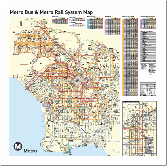
There are several different bus companies. I take the Big Blue Bus when going to the shores, everywhere else, the LA Metro. When I first got here, Google Map was not as updated as it is now. It missed a lot of bus lines, and showed only the line number without specifying which bus system it is showing (If I'm new around here, how can I know if it's Metro line 2 or BBB line 2 that I'm suppose to take?). Sometimes I get "no transportation possible" for my queries even though I know buses run along my destination (I was trying to get to the Greystone Mansion then). So I got myself a few copies of bus system maps. You can see what they look like below. Wasn't it a headache to read!
Thankfully, Google Map now offers pretty accurate and detailed information on public transportation. Even the ones that were previously missing were replaced. This is how you get to the Griffith Observatory: on weekends, as shown on Google Map:
It will take you all the way up to the observatory. Neat! I didn't know that when I first got here. There was so few information. I settled to tagging along whenever someone with a car was going that way, else I'm well prepared to hike the rest of the way up there (which probably isn't a good idea). I'm only too glad to be spared the pain now with Google's help. As a bonus, the time shown on Google is pretty accurate. It's perfect for trip planning now.
There are several different bus companies. I take the Big Blue Bus when going to the shores, everywhere else, the LA Metro. When I first got here, Google Map was not as updated as it is now. It missed a lot of bus lines, and showed only the line number without specifying which bus system it is showing (If I'm new around here, how can I know if it's Metro line 2 or BBB line 2 that I'm suppose to take?). Sometimes I get "no transportation possible" for my queries even though I know buses run along my destination (I was trying to get to the Greystone Mansion then). So I got myself a few copies of bus system maps. You can see what they look like below. Wasn't it a headache to read!
Thankfully, Google Map now offers pretty accurate and detailed information on public transportation. Even the ones that were previously missing were replaced. This is how you get to the Griffith Observatory: on weekends, as shown on Google Map:
Vermont/ Sunset Station
OK, more on the bus systems:
The Metro system includes bus lines as well as rail lines. Regular bus fares are $1.50 per ride, and rail lines only accept TAP cards, which can be used to board buses as well. Consider buying a TAP card if you're making transfers to your destination. You can get them at local supermarkets or TVMs. It's one buck for the card and 5 dollars for a day pass. Credit can be added online, at TVMs, or on the bus. Simple! Plus, there'll be no need to worry about collecting coins anymore.
The Big Blue Bus and Clover City Bus covers the Santa Monica area, and Clover City, respectively. Regular bus fare is one dollar per ride. I highly recommend going to the beaches by bus. Parking space is hard to find, the price for fuel and parking combined far exceeds that of public transportation, and you'll be doing a favor to the Earth.
Lastly, here are the detailed bus fares for the two public transportation systems: LA Metro, Big Blue Bus. Happy Riding!


No comments:
Post a Comment